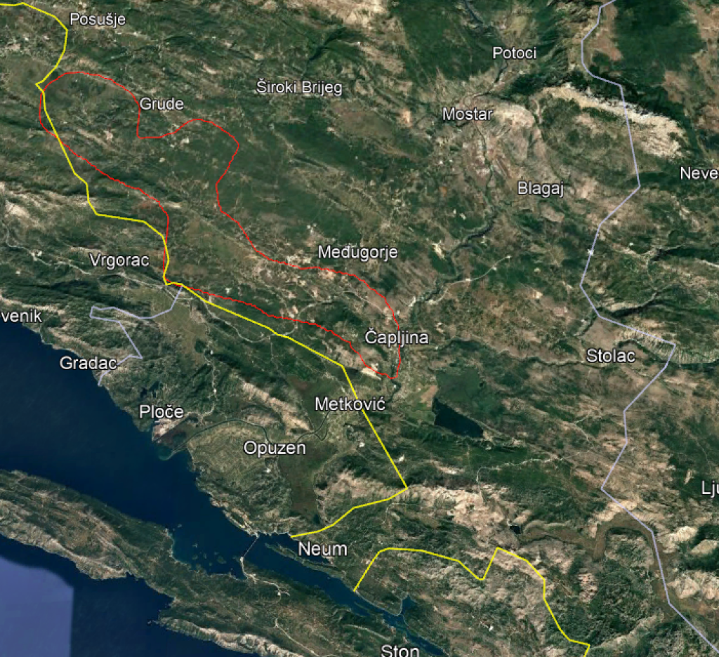
SARAJEVO, January 6 (FENA) – At the proposal of the ERCC, the Emergency Response Coordination Center within the European Union Civil Protection Mechanism, the Ministry of Security of Bosnia and Herzegovina has accepted an additional satellite imaging zone along the Trebižat River under the Copernicus EMS Rapid Mapping service.
Sadržaj dostupan isključivo pretplatnicima FENA servisa. Za više informacija o načinu i
uslovima korištenja servisa kontaktirajte marketing@fena.ba.
(FENA) S. R.